
- June 17, 2026
Ready for a nice spring day on the water? Listed below are five premier paddling trails in the Volusia-Flagler area. Check park websites for fees and gate opening/closing hours as you plan your trip, as these vary.
Length: 13 miles, from State Road 40 to the Halifax River
The trip: There are two launch points: Tomoka State Park, on the Halifax River; and Riverbend Park/Tomoka Estates, near U.S. 1. The portion of the trail near the Halifax River runs wide through coastal marshes, and the trail narrows into shaded woodlands to the south. The area is also popular with motorboaters. For a side trip, try Strickland Creek, which branches away from the Tomoka River about a mile south of Tomoka State Park.
Length: Varies
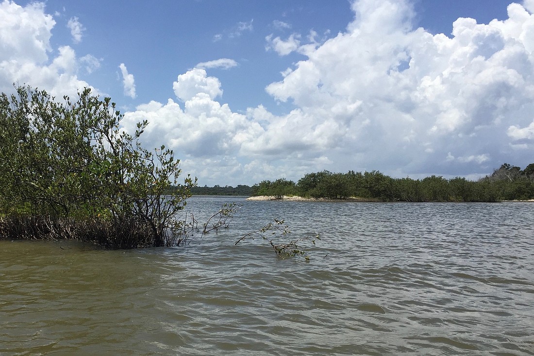
Type of scenery: Estuarine Intracoastal/Halifax River
The trip: The North County Blueway and Halifax River Blueway are linked paddling trails along the Halifax River/Intracoastal Waterway in Volusia County. Launching at the northern end at on the North County Blueway in Tomoka State Park, paddlers can head 5 miles north into Flagler County, or head south toward the Halifax River Blueway. The Halifax River Blueway is 17 miles and has multiple put-in/take-out points: Tomoka State Park, Riverfront Park, and Wilbur Boat House.
Length: 6.5 miles, from north of Bulow Plantation Ruins to the Halifax River
The trip: There are three access points on the Bulow: You can start at Bulow Plantation Ruins Historic State Park and head 3 miles north for a wild and scenic portion of the river, where it becomes shaded with trees, or head south into brackish marsh country as you approach the Intracoastal Waterway. You can also start at the other end, on the Intracoastal High Bridge Road, or start at an intermediate point, from the kayak launch at the end of Walter Boardman Lane. The marshy area between Walter Boardman Bridge and the High Bridge Road takeout can be tricky to navigate, so bring GPS and a chart and compass. The river below Bulow Plantation Ruins is unshaded.
Length: 5.75 miles, from Russell Landing to Bull Creek Fish Camp
The trip: This shady blackwater creek can be accessed from either end: The Russell Landing boat launch in Bunnell, at the end of County Road 2007; or from the Bull Creek Fish Camp launch on Dead Lake at the end of County Road 2006. Starting at Russell Landing, the creek is narrow and winding, passing through cypress swamps before it opens out onto the broad Crescent Lake (Crescent Lake can get dangerously choppy: Check forecasts before you go). Turn north to head into Dead Lake and the toward the Bull Creek Fish Camp launch at its northern end. Stands of water lettuce and dollar weed may slow your progress in the Russell Landing area. The area is known for great panfish fishing and abundant wildlife.
Length: 3.5 from Faver-Dykes State Park to Princess Place Preserve.
The trip: Pellicer Creek is known as one of the most pristine estuarine environments in the state. The paddling trail can be accessed from the west through Faver-Dykes State Park, or from the east through Princess Place Preserve. (The flats at the eastern end of the Pellicer side can be uncomfortably shallow for paddle boards.) This is generally a lazy paddle through broad, unshaded salt marsh, but a windy day can make paddling tricky on the flats. Watch out for oyster bars at low tide.


